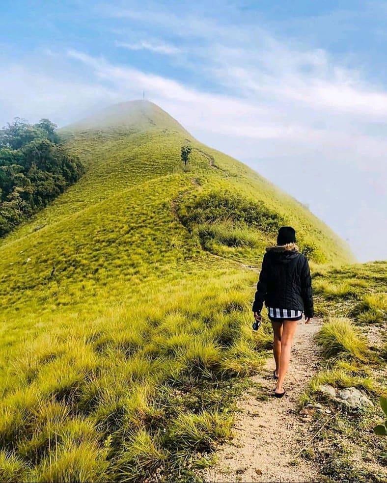
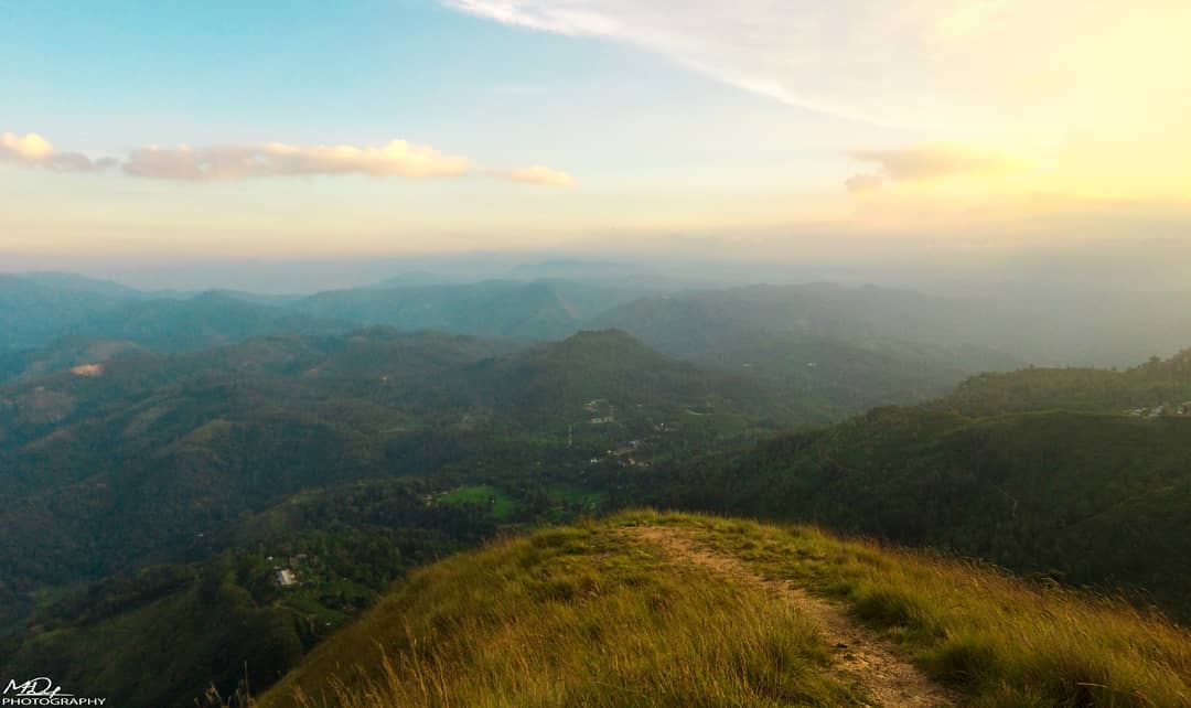
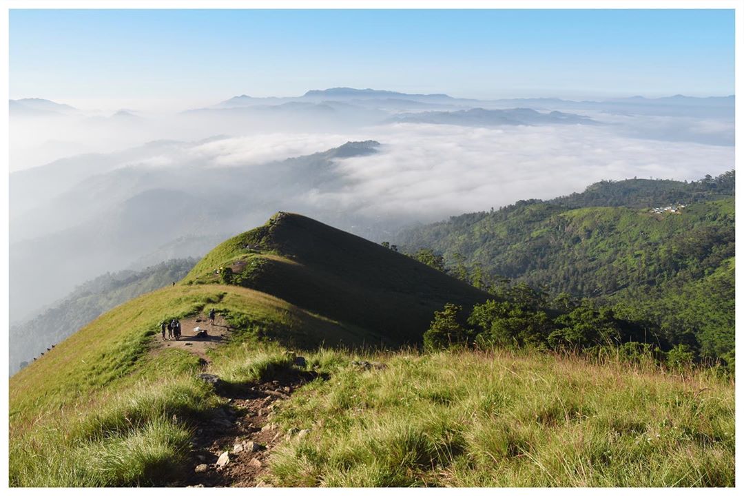
Narangala (නාරංගල) is the 5th highest mountain in Uva Province with 1527m height. This situated at Badulla – Kandegedara area and famous place for both hikers and campers.
Hike in summary
| Route | Colombo > Rathnapura > Balangoda > Haputhale > Haliela > Kandegedara > Keenakele > Thangamale Estate > Narangala |
| Difficulty | Medium |
| Time | 3 Hours |
| Water | No water sources |
| Weather | Windy |
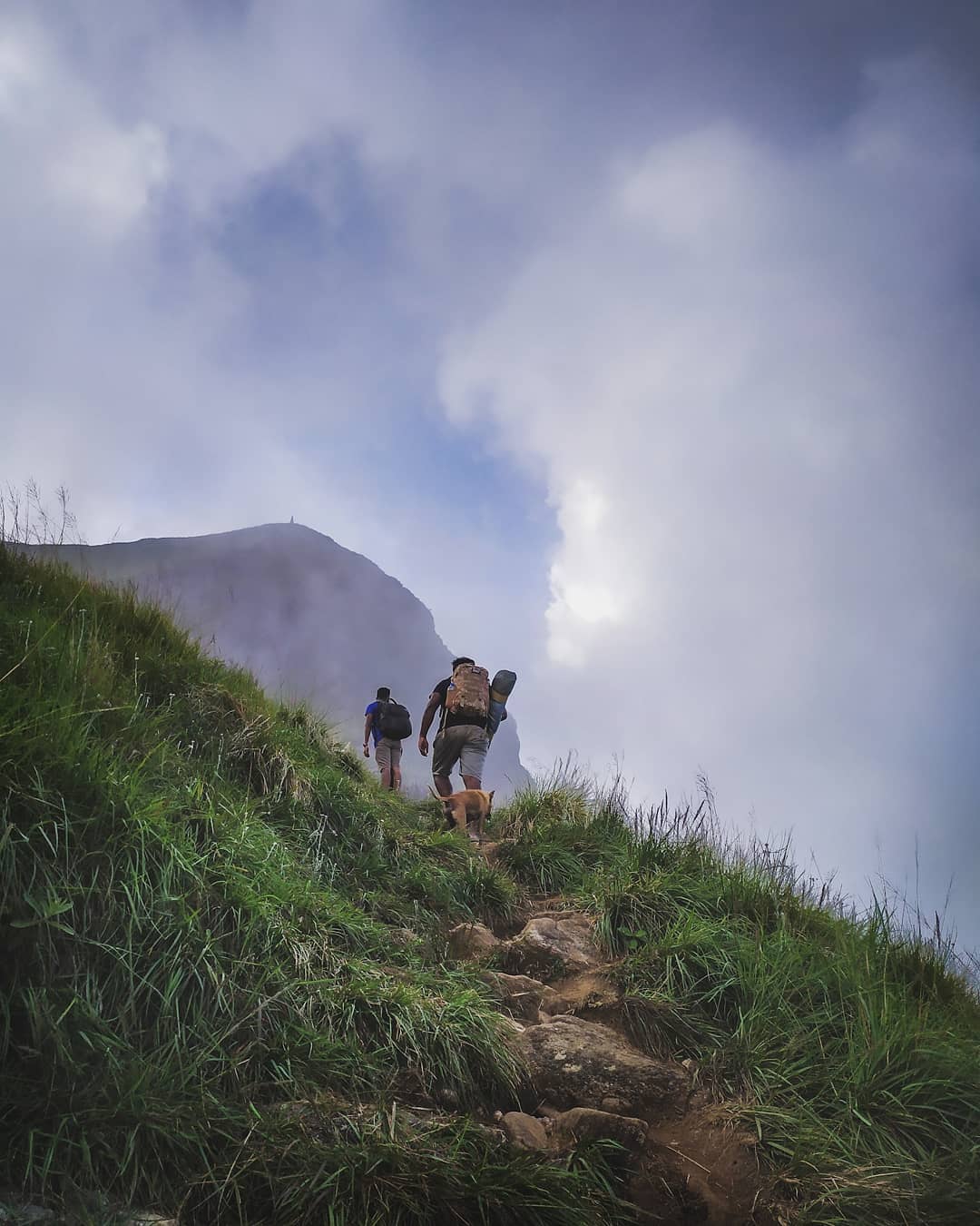
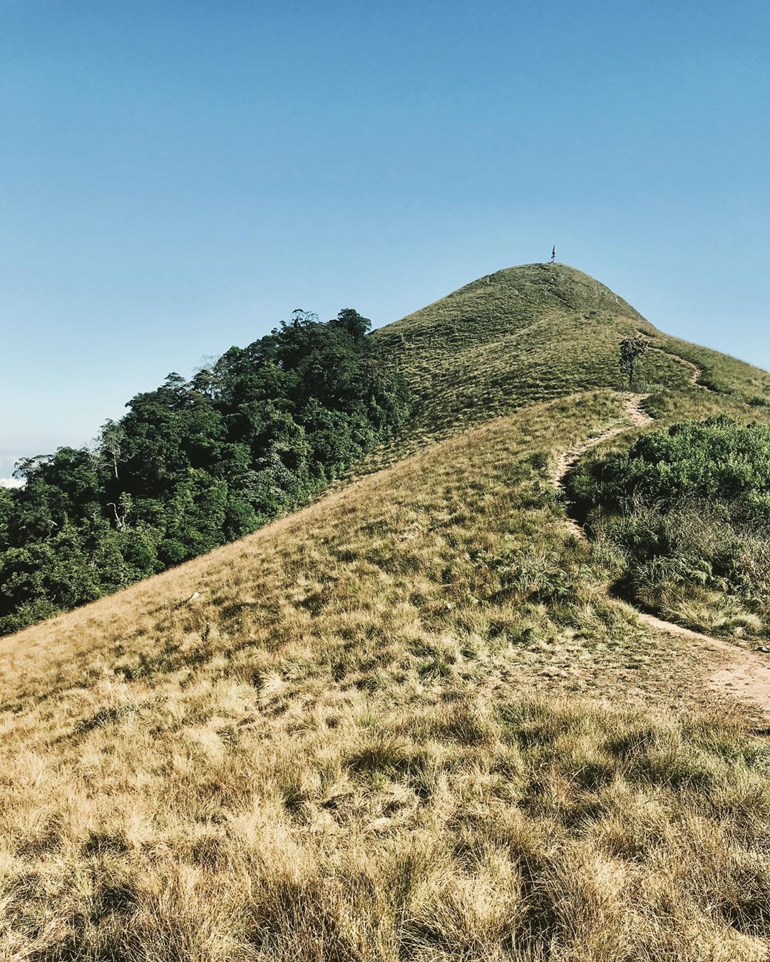
Narangala has two entry points named Keenakele side & Thangamale Dewalaya side, But the keenakale side is commonly used by hikers.
After the Kandegedara area you may not find shops to eat or buy goods therefore its wise to have your stuff packed up before leaving Kandegedara town.
Below is the google map location of starting point. 7.030903, 81.023659
Wear long sleeves as much as possible to hike through the grown “Maana” shrubs.
This hike is not a tough one and once you arrived to the starting point follow the footsteps to the peak.
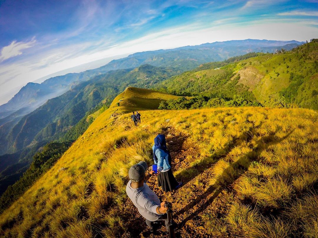
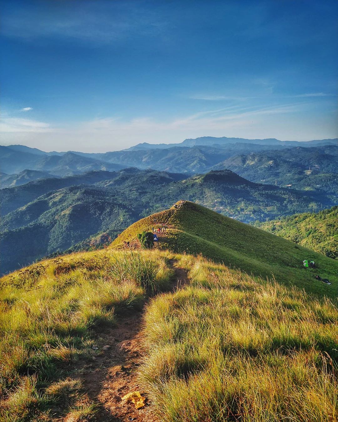
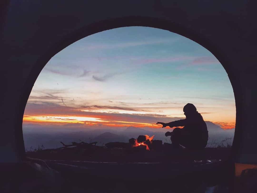
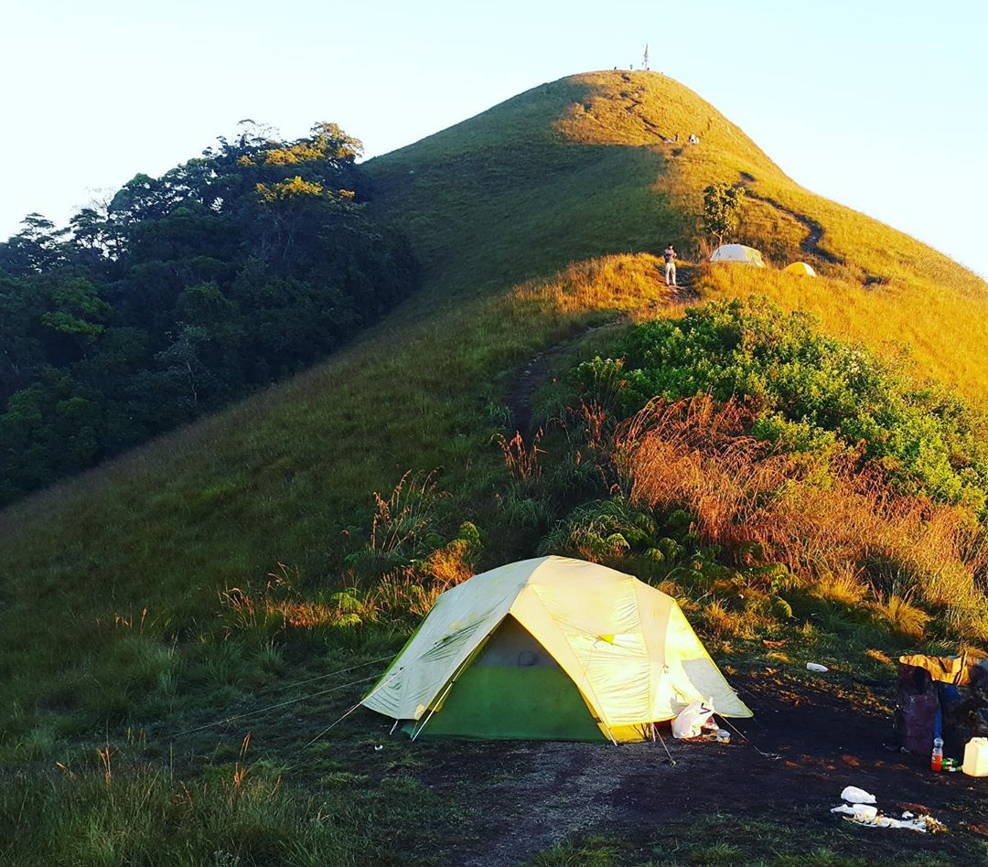
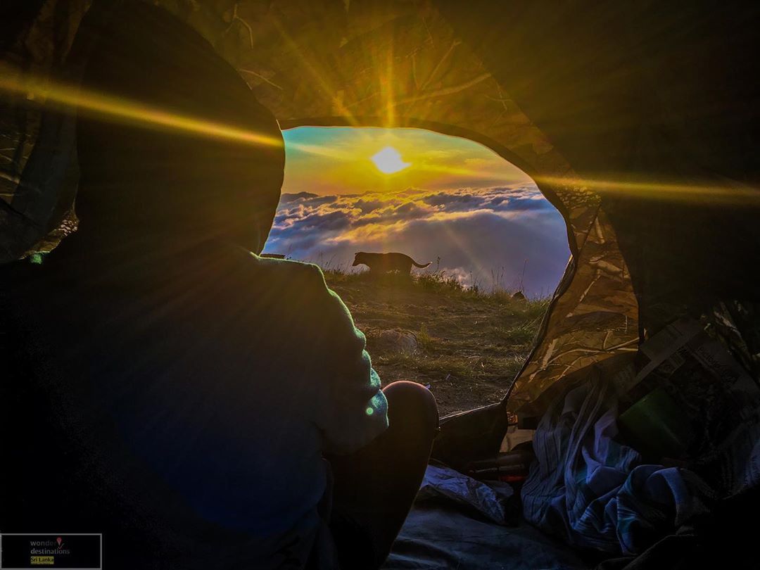
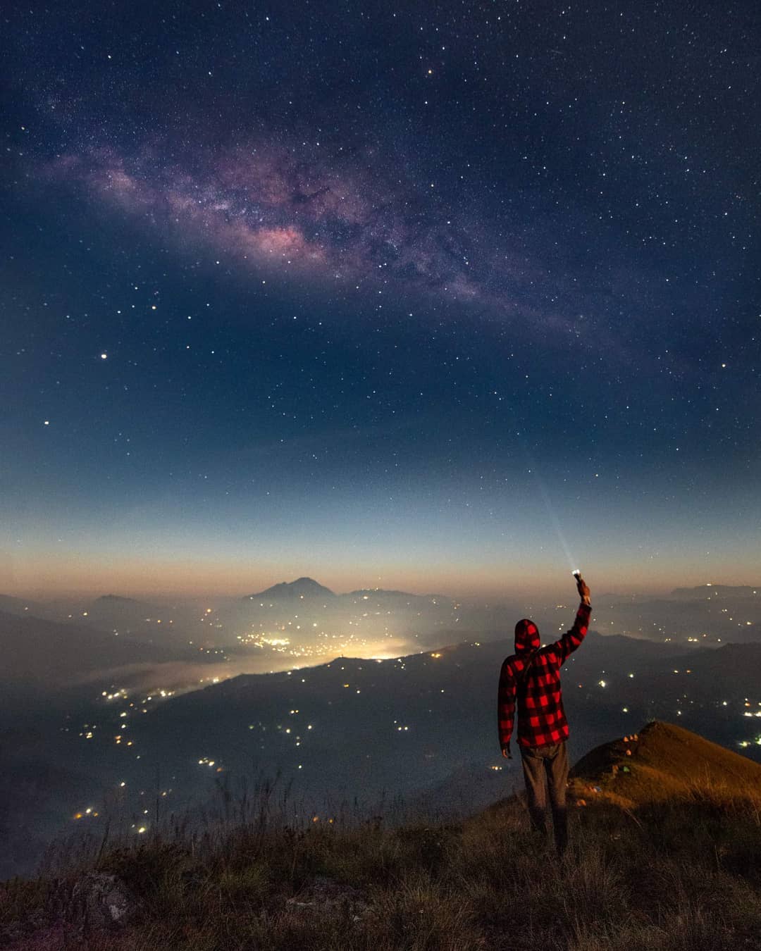
Camping
There are campsites on the top of mountain though this location is commonly famous for one day hikes. However now you may find two or three camping teams during the weekends.
Compared to other camping locations, campers should make sure wind resistance camping gears and bring enough water.
.
Copyrights of above images should belong yo the respective Instagram users.
Articles on Narangala